Industry-Leading GIS, Remote Sensing & Geospatial Consulting
Empowering governments and organizations with accurate land intelligence, spatial analytics, and decision-ready geospatial solutions.
Request a Consultation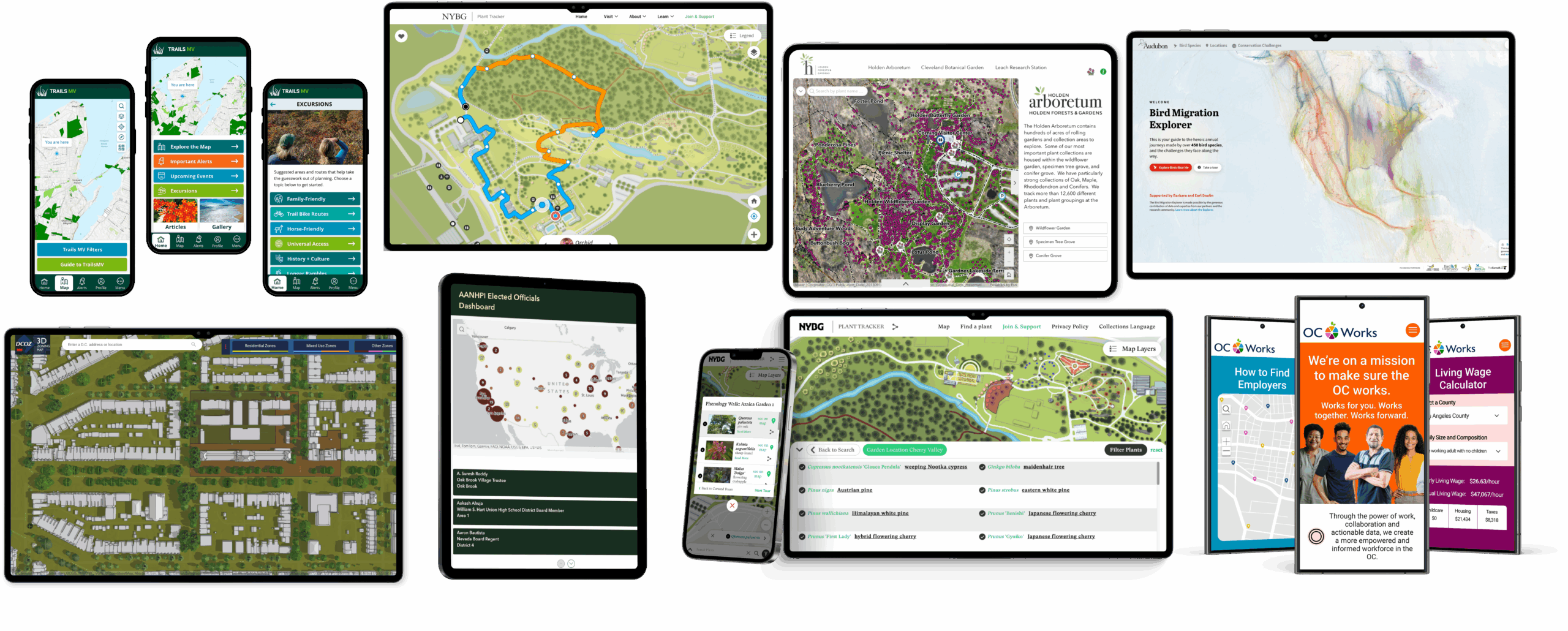
Empowering governments and organizations with accurate land intelligence, spatial analytics, and decision-ready geospatial solutions.
Request a Consultation
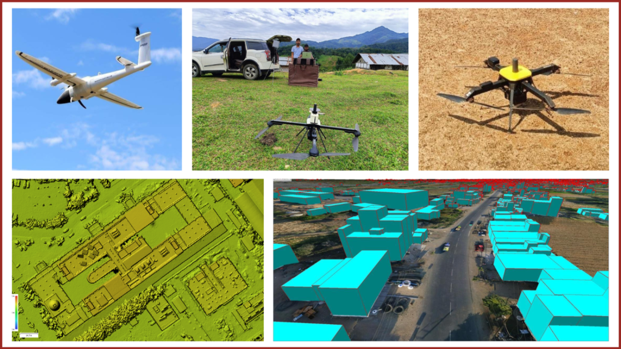
GIS, GPS, DGPS, Total Station and drone-based surveys.
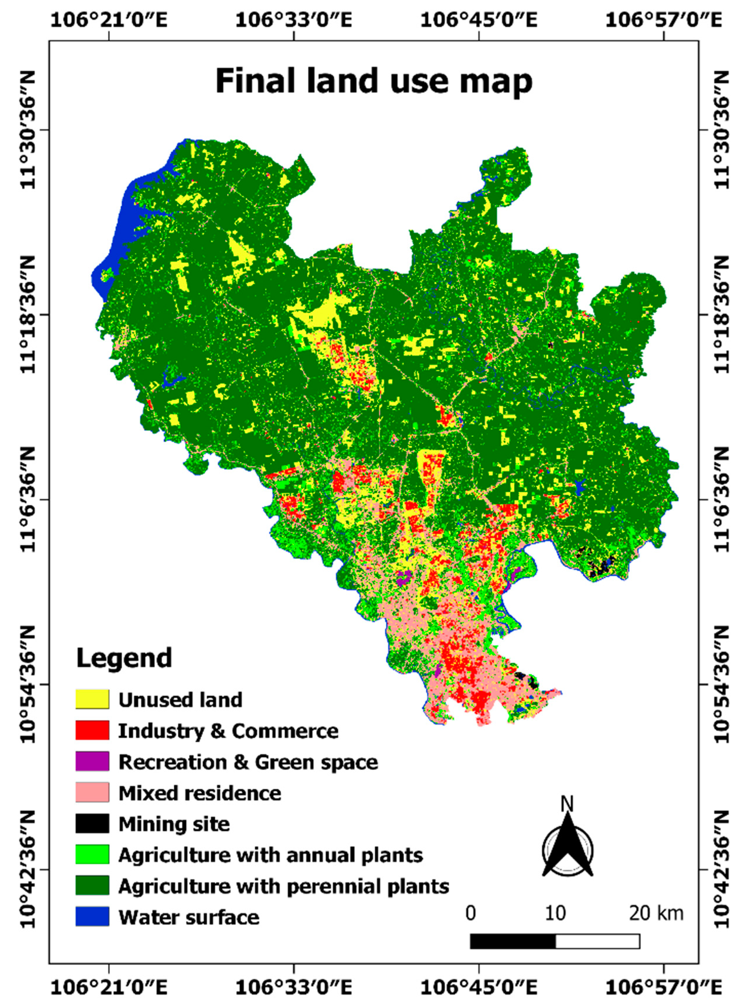
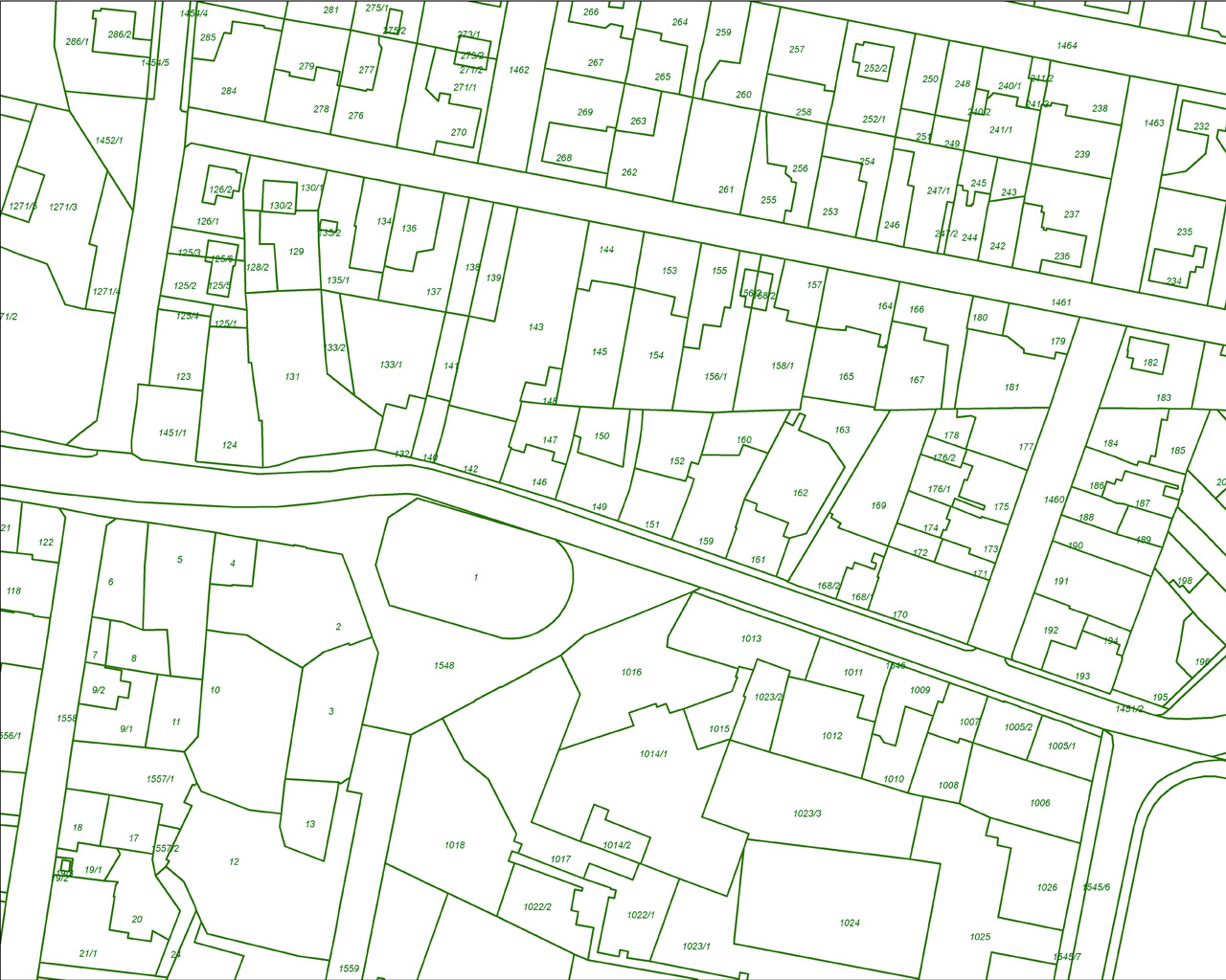
Cadastral mapping, LULC, asset mapping and governance GIS.
Master plans, spatial MIS and change detection.
Orthomosaics, DEM/DSM and project monitoring.
Xenolith Geoservices is a professional geospatial consulting firm providing GIS, remote sensing, drone survey and land mapping services.
We support urban planning, land administration, infrastructure development and government missions through accurate spatial data and decision-support systems.
Experienced professionals in GIS, RS, DGPS and drone mapping.
Experience with AMRUT, PM Gati-Shakti and urban missions.
Strict adherence to standards and quality benchmarks.
Survey to GIS applications and dashboards.
We support government missions such as AMRUT and PM Gati-Shakti through GIS integration and spatial decision-support systems.